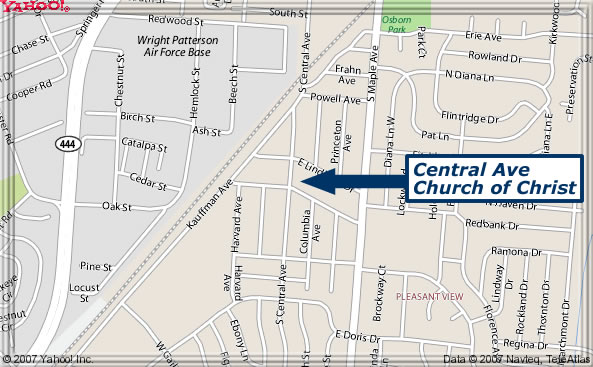
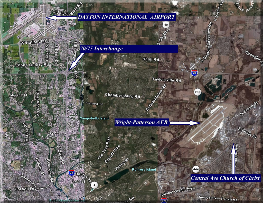
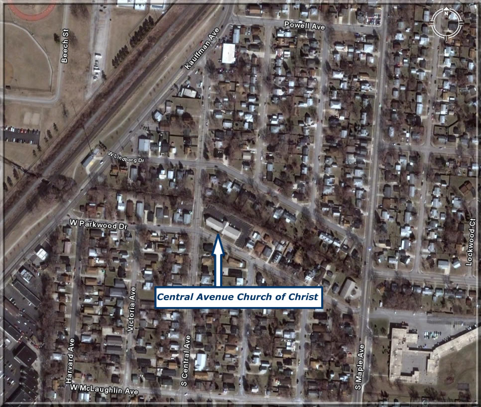
Maps and Directions
The below map and photos as well as directions will aid you in finding where we worship.
From the north (Detroit, Toledo)
Take I-75 south, I-70 east (see directions from west)
From the south (Cincinnati, OH)
Take I-75 north, I-675 north, exit at Exit 20, turn left on Dayton-Yellow-Springs Road. Turn right on Kauffman. At the gas station, turn right on Parkwood. Turn left on Central Avenue in front of the building.
From the west (Indianapolis, IN)
Take I-70 east across I-75, SR4 south, SR 235 south. In Fairborn, SR 235 joins Central Avenue. Continue south on Central until you cross the railroad tracks, then Central Ave immediately turns left. Building is two blocks down on your left. (If you get to the gas station on Parkwood, you missed the turn, turn left on Parkwood and you’ll get there.)
From the east (Columbus)
From the east (Columbus): take I-70 west, I-675 south, take first exit (exit 24). Turn right at the bottom of the ramp onto Broad Street, drive into Fairborn. Turn left at light on Central Avenue. Continue south on Central until you cross the railroad tracks, then Central Ave immediately turns left. Building is two blocks down on your left. (If you get to the gas station on Parkwood, you missed the turn, turn left on Parkwood and you’ll get there.)